Surrounding Areas
Bryce Canyon
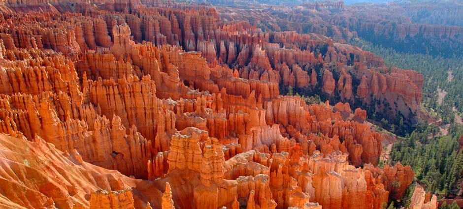
Bryce Canyon History
The Fremont Natives were next to inhabit the Bryce Canyon area, staying until the early 1200s. The Paiute tribe left the most recent native imprint on the canyon’s energy. It was these natives that orally passed down the ancient names of many surrounding rock structures to John Wesley Powell , a United States Army major who led a scientific expedition to the area in 1872. But it was the Mormon pioneers that settled near Bryce Canyon, and the group for whom Bryce Canyon takes its name.
Ebenezer Bryce homesteaded Bryce Canyon in the mid 1870s. Bryce and his family landed in the Paria Valley with his in 1875, sent by the Mormon Church as a skilled carpenter and useful assent for the newly settling town. Building a road to the top of the plateau, Bryce made it possible for the townspeople to gather firewood and timber, and also built an irrigation canal so the pioneers could raise crops and animals. Bryce and his family later founded the town of Bryce in the Gila River Valley in Arizona.
Bryce Canyon was officially declared a National Monument in 1924. After the declaration of the new national monument, interest in the Bryce Canyon area began to grow. In an attempt to upgrade the area, the Union Pacific set out to make improvements in the transportation to Cedar City by creating a shuttle service to the National Monument from the area’s train depot.
In an effort to help safeguard the area, congress passed a bill in 1928 to increased the amount of protected land and to double what was already protected by the new national park. Along with the expansion of land, the name of the park was officially changed to Bryce Canyon National Park on February 25th, 1928.
Today the national monument still maintains the charm of its 1930s beginnings, while attracting thousands of visitors each year. It’s a true Utah landmark.
About
Named after Ebenezer Bryce, the man who homesteaded the area in 1874, Bryce Canyon National Park is a stunning congregation of large natural amphitheaters. Hardly a “canyon,” these unique and distinctive geological structures are called hoodoos, formed by the frost weathering and stream erosion of lake bed and river sedimentary rocks. Boasting a complexion of hues marbled in wave-like formations of red, orange, and white, these ancient rock formations provide a vibrant, poetic tapestry of color for park visitors.
The Canyon’s famously extraordinary geology is carved from the eastern edge of the Paunsaugunt Plateau in horseshoes-shaped patterns, providing primitive back-country for the adventurous travelers who wish to take a journey into Utah’s forgotten past.
These vast canyon lands have seen several formations throughout the eons of the planet’s formation, but most have been eroded away as a result of two major uplifts. Some scientists estimate that around 70 million years ago an uplift called the Laramide orogeny started to rise, affecting the entire western part of what would become North America. This geological shift of the earth’s surface closed the Cretaceous Seaway and helped create the West’s famous Rocky Mountains.
Some of the formations decorating Bryce Canyon’s immense and lonely landscape are part of the Grand Staircase. This super-sequence of rock spreads its magic as far as the Grand Canyon and Zion’s National Park.
Cedar Breaks
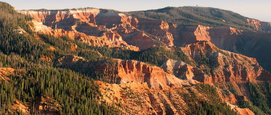
Many of those who stay in Panguitch do so because of the many recreational outdoor activities that are nearby. Visitors to Panguitch can easily reach Cedar Breaks National Monument and enjoy a wide variety of outdoor adventures such as photography, sightseeing, picnicking in some of the most beautiful scenery in the entire nation, hiking miles of memorable trails, bird watching, and nature study. During the winter months there are multiple resources for snowmobiling and skiing on the mountains and at the Brian Head Resort which is a mere three miles distance from Cedar Breaks. Summer months in Cedar Breaks provide a mild and pleasant atmosphere with temperatures ranging in the mid sixties to low seventies; a perfect climate for enjoying long walks while observing miles of splendor. After spending an exciting day at Cedar Breaks National Monument and a pleasant evening in Panguitch, Utah enjoying dinner at local dining establishments.
National Monument
About
Prehistoric History
Dixie National Forest
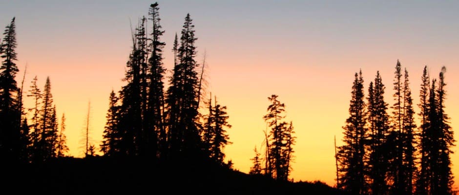
While staying in Panguitch, a town rich in pioneer and Native American history, one day-trip into a section of the Dixie National Forest is a beautiful drive along Scenic Byway 143. The drive itself is spectacular and provides countless photo opportunities regardless of the time of year. The forest is covered in high desert plants at lower elevations and great pine, spruce, fir and aspen trees in the upper reaches.
The Dixie National Forest is broken up into four large sections, each of which include a major plateau and significant elevations which range anywhere from 6,000 to over 11,000 feet. The highest of these plateaus is the Aquarius Plateau which is actually a part of the even larger Colorado Plateau.
Recreational Opportunities
Nature enthusiasts and photographers will find plenty to see with over 83,000 acres of wilderness available and hiking trails for beginners to more advanced. Wildlife is abundant for those who wish to catch a glimpse or snap a picture of elk, deer, eagles, hawks, and more.
In fall season, hunters will find elk and mule deer available, while year-round photographers enjoy the quest of spotting these wild animals in their natural habitat.
Various fishing opportunities exist in the way of streams, lakes, and reservoirs, with brown, rainbow, cutthroat and brook trout in large numbers.
Many people enjoy lunch at a forest picnic site before heading back to Panguitch for comfortable accommodations, and a variety of restaurants and shops.
Kodachrome Basin
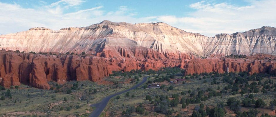
About
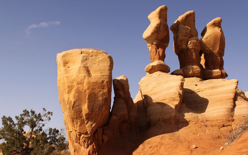
Believed to have been pieces of solidified sediment filling the ancient geysers that once presided over the landscape, researchers speculate the area once closely resembled the geological formations of Yellowstone National Park. Overtime, however, the Entrada sandstone eroded, exposing the staggering array of chromatism displayed on the sandstone surface. The colors are remarkable: red, white, brown and yellow layers of sediment shift and transform with the movement the sun, the shadows of valley, the brilliance of the night stars.
Biology
Wildlife still roams the area’s abandoned canyon lands: Mule deer, mountain lions, coyotes, bobcats, and gray fox hunt jack rabbits and rock squirrel in the shadows of valley’s hovering sandstone towers, while rattlesnakes, mice, and lizards lurk beneath rocks and make their homes under the dessert’s arid surface. Ravens and golden eagles are native to the primitive lands, while rock wren, pinion and scrub jays, chukar partridge, and chipping sparrow patrol the endless silence of the canyon’s skies.
Panguitch Lake
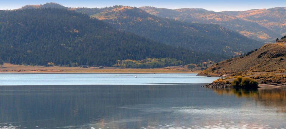
There are plenty of boats available to rent for the day and lots of other activities for every family member to enjoy while visiting the lake. ATV rentals are also available as are horseback riding trips, and trails for mountain biking.
Panguitch Lake is surrounded by a lush forest which extends down to the shoreline of the lake. There are many biking and hiking trails all around Panguitch Lake in which travelers are likely to come across a variety of wildlife including coyotes, elk, hawks, eagles, foxes and various types of deer.
Even for those who aren’t big on fishing, the scenic lake is a place of complete relaxation and picturesque loveliness where sitting by the shore on a blanket with loved ones makes for a very peaceful day.
Red Canyon
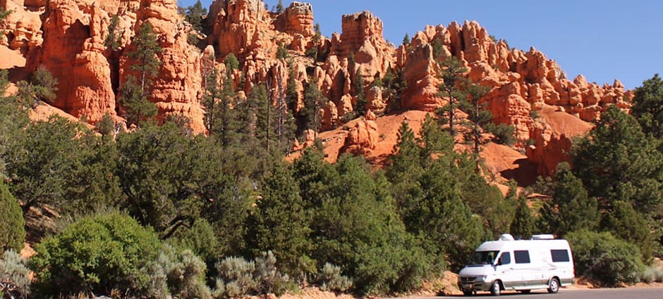
The landscape’s famous hoodoos (also called tent rocks, fairy chimneys, and earth pyramids – or as the French call them, “ladies with hairdos”) can be explored by many different trails throughout the canyon’s winding, desert roads. Sculpted from Claron limestone from ages of water and wind erosion, the abundance of hoodoos in Southern Utah are a popular attraction for tourists around the world.
The five mile, paved bike trail that runs through Red Canyon takes visitors on a scenic route through ponderosa pine forests to the great Paunsagunt Plateau, with access to the Grand View Trail, and the famous Thunder Mountain Trail.
